
A pest-free island about 10 nautical miles from Westhaven, with sandy beaches on both sides of a grassy isthmus, easy walks and a lot of history. Here's how to plan your visit on a Daily boat.
Updated October 2026 · By the Daily Boats team
About 10 nautical miles from Westhaven
About 30 minutes at 20 knots
Ocean Beach, Wharf Bay and Calypso Bay
Shallow water in Wharf Bay and ferry wash by day
Toilets, a DOC campsite, four walking tracks and a summer kiosk
Waiheke, Islington Bay and Motutapu
Motuihe, or Te Motu-a-Ihenga, is a 179-hectare island between Motutapu and Waiheke in the inner Hauraki Gulf. It's a recreation reserve run by the Department of Conservation (DOC) with the Motuihe Trust, whose volunteers have replanted much of the island since 2003. It is pest free, and home to little spotted kiwi, tīeke (saddleback), kākāriki and tuatara.
From Westhaven, head east down the harbour past the city wharves, North Head and Bean Rock. Then go through the Motukorea Channel, between Browns Island and the south side of Rangitoto and Motutapu, and cross to Motuihe. It is about 10 nautical miles to Wharf Bay, so roughly 30 minutes at 20 knots.
For Ocean Beach, carry on round the northern tip of the island through the Motuihe Channel, between Motuihe and Motutapu. That adds about a mile, so allow around 35 minutes. Watch for the Waiheke ferries, which use these channels all day, and expect their wash. At 20 knots, sea state matters more than wind direction for comfort, and it's a short run, but still plan your fuel for the round trip and keep a reserve.
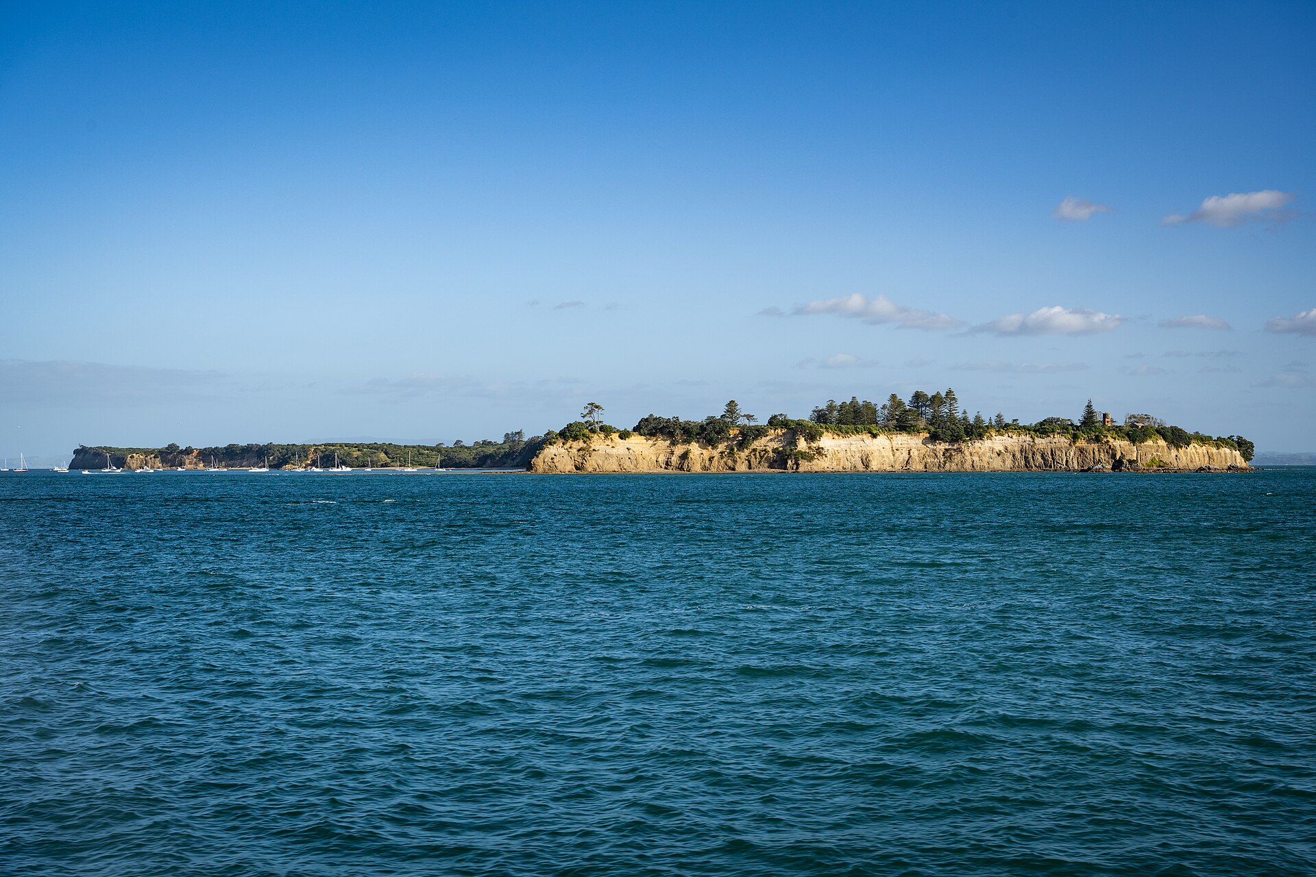
DOC lists Wharf Bay, Ocean Beach and Calypso Bay as the island's safe anchorages. Because the two main bays sit back to back on either side of the isthmus, there is usually a sheltered one whichever way the wind is blowing.
On the north-east side of the isthmus, Ocean Beach is the long sandy beach most visitors come for. It faces north-east, so it is the usual choice in south-westerly and westerly winds, including the prevailing summer south-westerly. It's open to winds from the north and east. The Motuihe Trust kiosk and the isthmus toilets are just behind the beach.
On the opposite side of the isthmus, facing south-west. It's the better bay in northerlies and easterlies, but open to the prevailing south-westerly. Wharf Bay is shallow, which is why the wharf is so long, so check the tide and the chart before anchoring close in. Wash from passing ferries can make it rolly during the day.
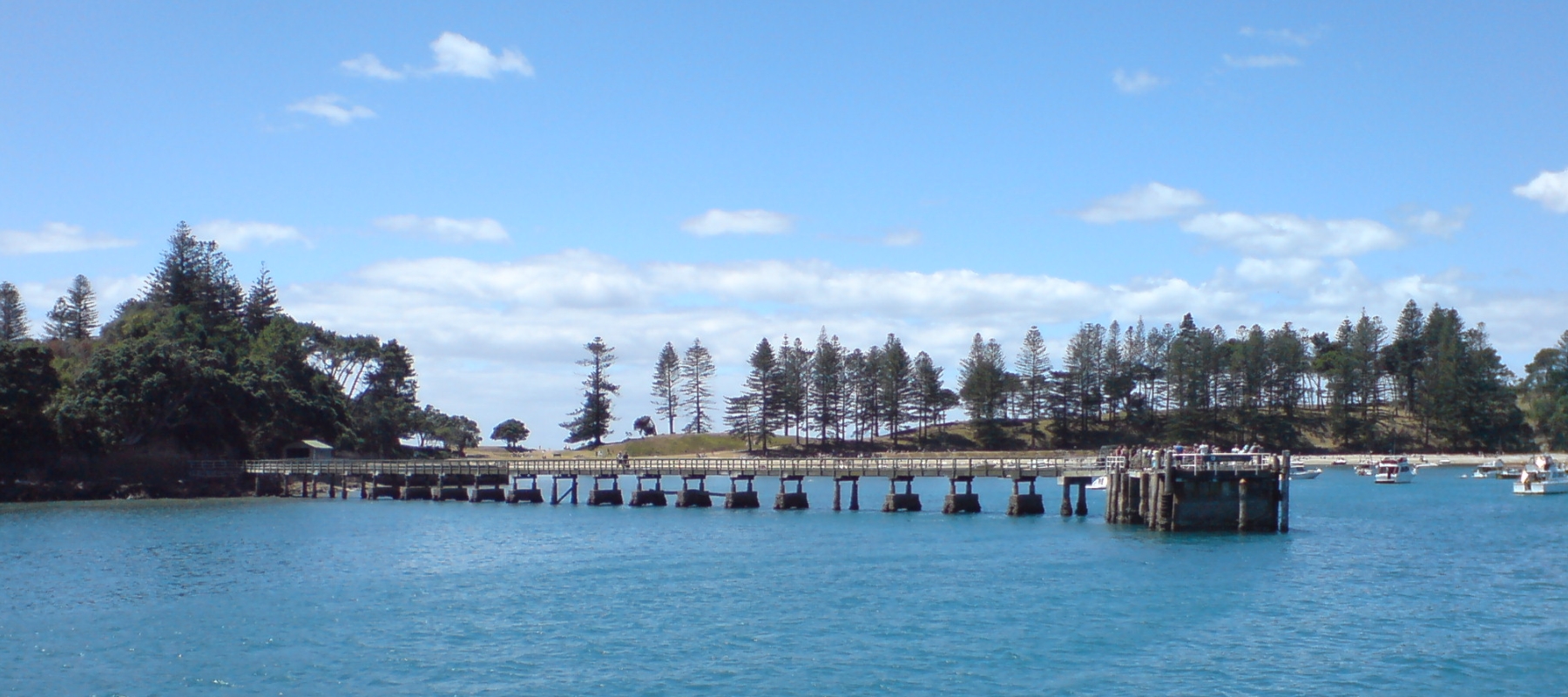
Smaller bays on the island's eastern side, linked to Ocean Beach by the Eastern Beaches walk. Calypso Bay is one of DOC's listed anchorages and is usually quieter than Ocean Beach.
The wharf is for dropping off and picking up passengers only, so you can't tie up alongside. Anchor off and get ashore on the beach at Ocean Beach, Wharf Bay or Calypso Bay. Allow for the tide when you anchor, especially in shallow Wharf Bay, and keep to 5 knots within 200 metres of the shore.
There are toilets near the wharf and at the isthmus, but no shops, rubbish bins, barbecues or picnic tables. Bring your own food and drinking water, and take your rubbish home. The Motuihe Trust kiosk near Ocean Beach opens on busy weekends and some summer hours, selling drinks, ice creams and coffee, plus track maps.
DOC's tracks start from the wharf:
20–45 minutes, 1 km return. A sealed road past old olive trees to the cemetery on the northern headland, where victims of the 1918 flu are buried. Great harbour views.
1½–2½ hours, 5 km return. Through old native trees, with a good chance of seeing tīeke and a lookout over the limestone formations of Wharf Bay.
1½–2½ hours, 5.5 km return. An easy grass track linking Ocean Beach, Snapper Bay and Calypso Bay.
2–3 hours, 6.5 km return. Along the ridge to a secluded southern beach and 360° Gulf views from the trig. Medium fitness.
The wharf and boat ramp are often slippery, so wear good shoes. Fires and portable barbecues aren't allowed anywhere on the island.
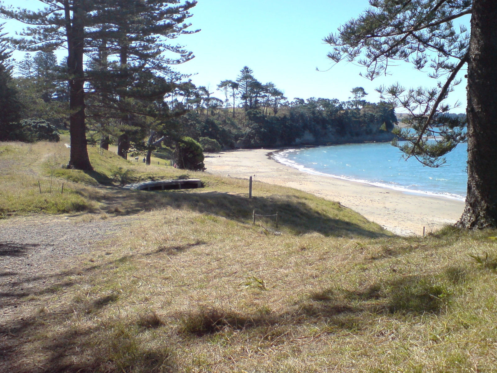
Most overnight visitors sleep aboard, but there is also a DOC campsite on the north-western headland. It must be booked, has toilets and water (boil it before drinking), and allows gas cookers but no fires. Overnight visitors need to bring a completed biosecurity checklist for the ranger.
This is a longer trip than a typical Daily day out. Talk to the Daily team before planning it.
The island is named for Ihenga, a Te Arawa ancestor, and has pā sites, karaka groves and storage pits. William Fairburn bought it in 1839, and the Norfolk pines and olive groves date from the farming years that followed.
From 1873 Motuihe was a quarantine station for almost 50 years. During the First World War it held German prisoners, including Count Felix von Luckner, the "Sea Devil". In December 1917 he used preparations for a Christmas play as cover, seized the island's launch and escaped, before being recaptured in the Kermadec Islands. In the Second World War the quarantine station became the naval training base HMNZS Tamaki, which moved to the North Shore in 1963.
Look for rats, mice, ants and skinks, and for droppings and gnaw marks. Keep bait or traps on board.
Use rat guards on mooring lines, and anchor offshore overnight.
Clean soil and seeds off shoes and bags, and use zipped or sealed bags, not open supermarket bags.
Dogs and other animals aren't allowed on the island. Report pests to 0800 DOC HOT (0800 362 468).
Check the MetService marine forecast for the Hauraki Gulf before you leave and again during the day. Log a trip report with Coastguard on the app, by calling *500 or on VHF. In an emergency, call Maritime Radio on VHF channel 16.
Plan your fuel for the round trip, including any side trips to Waiheke or Islington Bay, and keep a reserve.
Morning: check the forecast, log your trip and head out through the Motukorea Channel.
Midday: anchor off Ocean Beach or in Wharf Bay, depending on the wind, and walk the Headland Heritage Walk or the Tieke Track.
Afternoon: swim, then head home in daylight.
Saturday: cruise to Motuihe, walk the Eastern Beaches loop and anchor in whichever bay suits the forecast.
Evening: listen for kiwi from the boat after dark. If the wind shifts, move to the other side of the isthmus.
Sunday: pop across to Matiatia or Oneroa Bay on Waiheke, about 3–4 miles away, or to Islington Bay, then head home.
Daily bookings are full days, and at around half an hour each way Motuihe leaves plenty of time for a walk, a swim and lunch at anchor.
Daily members boat on Buccaneer 635 HT hardtops kept in their own berths at Westhaven, Pine Harbour and Gulf Harbour. New members do a sea trial when they join, so you'll know the boat before your first day out.
See how Daily works and more destinations, including Waiheke Island, Rākino Island and Tiritiri Matangi Island.
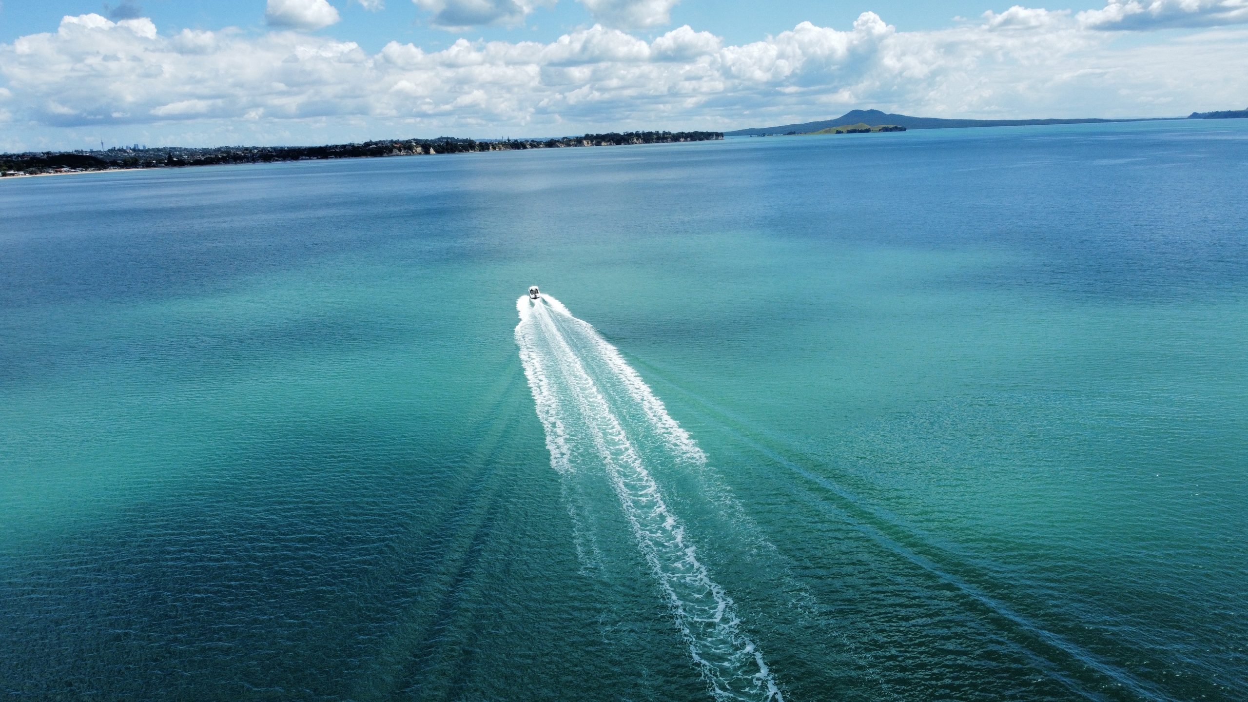
Planning note: distances and motoring times are approximate and assume an average of 20 knots. They vary with the boat, load, sea state and wind. Always check charts (LINZ NZ 5324 covers Motuihe), the MetService marine forecast, tide times and local notices, including Biosecurity New Zealand's caulerpa rules, before you set out.
Photos (Wikimedia Commons): Motuihe from above by Ingolfson, public domain; Motuihe wharf by Ingolfson, public domain; northern beach by Ingolfson, public domain; Motuihe from the Waiheke ferry by Takeshi Aida, CC BY-SA 2.0.
Daily members boat from Westhaven, Pine Harbour and Gulf Harbour on fully maintained Buccaneer 635 HTs, without the cost of owning one. Plans from $470 a month.