
Waiheke is the easiest island escape from Westhaven: well under an hour at 20 knots, sandy bays on both coasts, and a village, beaches and vineyards a short dinghy ride away.
Updated October 2026 · By the Daily Boats team
About 13 to 15 nautical miles from Westhaven to Matiatia and Oneroa
About 40 to 45 minutes at 20 knots to the western bays
Day trips and relaxed summer days on the water
Oneroa, Little Oneroa, Palm Beach: best in southerly winds
Putiki and Huruhi: better in northerlies and easterlies
Man O' War Bay: good shelter in westerlies
Matiatia, on the island's western end, is about 21.5 km (just under 12 nautical miles) from the downtown ferry terminal. Westhaven is a little further west, so allow roughly 13 to 15 nautical miles, or about 40 to 45 minutes at an average of 20 knots, to the western bays. That makes Waiheke the classic first trip for new members. At 20 knots, sea state matters more than wind direction for a comfortable run, so check the forecast swell and chop as well as the wind.
Waiheke has two very different coasts. The northern bays are lovely in settled southerly weather but open to the north and north-east. The southern side, facing Tāmaki Strait, is the place to be when the wind is in the north or east. Check which way the wind will blow while you're at anchor and pick your side of the island accordingly.
Oneroa is Waiheke's best-known anchorage, right below the island's main village. It is well sheltered from winds with any southerly component, and holding on the firm sand bottom is generally very good. It is open to the north-east, so it is not the place to be if a northerly is building. Little Oneroa, at the eastern end of the beach, is a smaller, quieter sandy cove with a playground and barbecues ashore. See our full Oneroa Bay guide.
A little further east along the north coast, Palm Beach is known for calm water and golden sand and is a favourite for an afternoon swim. Like Oneroa, treat it as a fair-weather, southerly-wind anchorage.
On the southern side, Putiki Bay gives good shelter from most winds except the south-west. Both arms of the inner bay are shallow with extensive mudflats, so watch your depth and the tide. Neighbouring Huruhi Bay has good holding in sandy mud but is exposed to anything from the south. These bays are your fallback when a northerly makes the north coast uncomfortable. These shelter notes are general guidance, so check your chart and local knowledge before you anchor.
At the far eastern end of the island, Man O' War Bay is sheltered from westerly winds and has good holding in mud. It is home to the well-known vineyard of the same name and is ringed by pōhutukawa. It is a longer run from Westhaven than the western bays, but still very doable on a full day out at 20 knots, and Pine Harbour is the closer base for this end of the island. See our guide to Waiheke's Bottom End.
Matiatia is Waiheke's main ferry terminal, with frequent ferry traffic throughout the day. Space is tight, so most skippers anchor in a neighbouring bay instead and keep well clear of the ferry approaches.
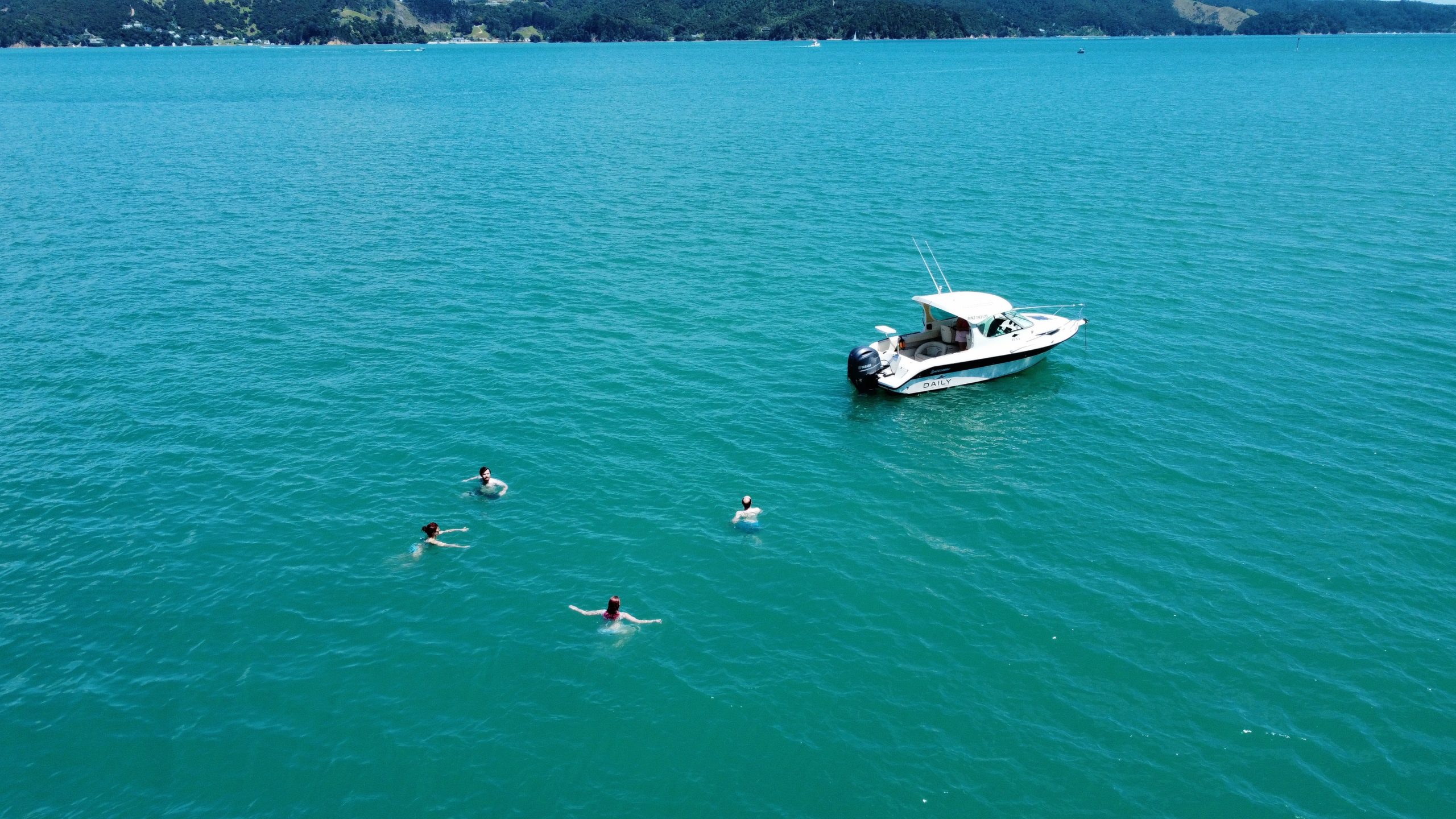
From Oneroa Bay it is a short dinghy ride to the beach and a walk up the hill to Oneroa village, with its shops and cafés. Waiheke has become known as New Zealand's "island of wine", and plenty of visitors come for the vineyards and cellar doors. If you land by dinghy, pull it well up the beach and check the tide before you head off.
Oneroa, Little Oneroa and Palm Beach are all good for swimming, and rocky Enclosure Bay is great for snorkelling at low tide.
Use the MetService recreational marine forecast for the Hauraki Gulf, not the land forecast, and check again before you choose where to spend the afternoon.
Use the Coastguard app, call *500 from your mobile, or call your local Coastguard station on VHF, and close the report when you get back. In an emergency, call Maritime Radio on VHF channel 16.
Exotic caulerpa seaweed has been found off Waiheke, and a "check and clean" controlled area covers part of the north coast around Onetangi Bay. Anchoring is allowed, but before you move, check your anchor, chain and any gear for seaweed. Bag anything you find and bin it ashore. Check biosecurity.govt.nz/caulerpa before you go.
Before leaving, check the boat, dinghy and bags for rats, mice, ants and skinks, and keep food in sealed containers. Report pests on pest-free islands to 0800 DOC HOT (0800 362 468).
Plan your fuel for the round trip, including any running between bays, and keep a reserve. Sea state matters more than wind direction for comfort at 20 knots.
Morning: check the forecast, log your trip and head for Oneroa (in a southerly) or the south coast (in a northerly).
Lunch: swim, eat on board or take the dinghy ashore to the village.
Mid-afternoon: check the anchor and chain for seaweed and head home with plenty of daylight.
Saturday: cruise to Oneroa or Palm Beach for the afternoon. If the overnight forecast suits, stay on the north coast; if not, move round to the southern side.
Sunday: carry on east to Man O' War Bay in a westerly, or explore Putiki Bay in a northerly, then head home through Tāmaki Strait or back along the north coast, depending on the conditions.
This is a longer trip than a typical Daily day out. Talk to the Daily team before planning it.
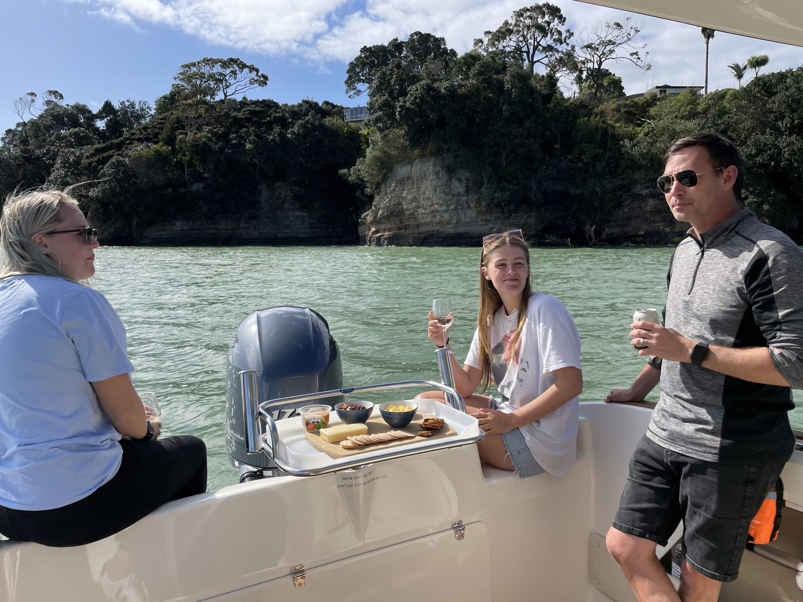
Daily members boat on Buccaneer 635 HT hardtops kept in their own berths at Westhaven, Pine Harbour and Gulf Harbour. Waiheke's western bays are an easy run from Westhaven, while Pine Harbour is the closer base for the island's southern and eastern end.
New to skippering? Every new member does a sea trial when they join. See how it works.
Planning note: distances and motoring times on this page are approximate and assume an average of 20 knots. They will vary with the boat, load, sea state and wind. Always check charts, the MetService marine forecast and local notices, including Biosecurity New Zealand's caulerpa rules, before you set out.
Daily members boat from Westhaven, Pine Harbour and Gulf Harbour on fully maintained Buccaneer 635 HTs, without the cost of owning one. Plans from $470 a month.