
Quiet bays, a beachfront vineyard and a pest-free island sanctuary, all about 1¼ hours from Westhaven at 20 knots. Here's our guide to the southern and eastern side of Waiheke and its neighbouring islands.
Updated October 2026 · By the Daily Boats team
Locals call the eastern end of Waiheke the "Bottom End". It's most of the island's land but home to few people, so it feels a world away from Oneroa: sheltered bays, farmland and some of the best island stops in the inner Hauraki Gulf.
Heading for the beaches on the northern side instead? See our guides to boating to Waiheke Island and Oneroa Bay.
About 23 nm from Westhaven to Man O' War Bay
About 1¼ hours at 20 knots
Man O' War Bay
Man O' War tasting room and restaurant
Rotoroa (landing pass needed)
Pakatoa and Ponui
From Westhaven, head out past North Head. Either run east through Tāmaki Strait along Waiheke's southern shore and into the Waiheke Channel, or go along Waiheke's north coast and round the eastern end. Pine Harbour is the closer base for this end of the island.
Both routes from Westhaven are roughly the same length: about 23 nautical miles to Man O' War Bay, so about 1¼ hours at 20 knots. Rotoroa is about 22 nm (a little over an hour at 20 knots) and Putiki Bay about 14 nm (about 40 to 45 minutes). Pick whichever route gives the smoother water on the day: at 20 knots, sea state matters more than wind direction for comfort. Plan your fuel for the round trip and keep a reserve.
The classic Bottom End stop. Cruising notes describe it as sheltered from westerlies and as far round as north-north-east, with good holding in thick mud. The bay faces east, so look elsewhere when the wind has easterly in it. There's a floating jetty on the right-hand side as you enter, used for drop-offs and pick-ups, with a smaller dinghy platform. In summer, Auckland Council has run a rubbish and recycling barge for visiting boats nearby.
On Waiheke's southern shore, Putiki is a calm bay that's home to the island's houseboats. It's known for good shelter from everything except the south-west, but both arms of the bay are shallow with wide mudflats.
Te Matuku, in Waiheke's south-east corner, is a marine reserve, so no fishing or collecting. Much of the bay dries at low tide, and DOC asks boaties not to let boats sit on the tidal flats or drag anchors. Treat it as a high-tide visit, not a place to stay for long.
This bay on Ponui's northern coast is the island's most popular anchorage. It's sheltered from the south and west, with good holding in sandy mud, but it can become untenable quickly in a northerly. You can anchor, but not land.
Rotoroa is a predator-free sanctuary. The Salvation Army ran an alcohol and drug treatment centre here until 2005. The Rotoroa Island Trust has restored it, and it opened to the public in 2011. Look out for takahē, kiwi, tīeke (saddleback) and pāteke.
Private boats can anchor and land by dinghy with a landing pass, bought online, at the exhibition centre or at the Ladies Bay honesty box. You can anchor in Home Bay, Maimai Bay, Cable Bay, Ladies Bay or Men's Bay. Home Bay is the most popular but is exposed to westerlies. You can't moor at the wharf or pontoon. No pets, camping or open fires.
Pakatoa is just north of Rotoroa. It's a former resort and is now privately owned. Landing is not permitted. The waters around Pakatoa and Tarahiki/Shag Island became a High Protection Area in 2025, so don't take or disturb anything there.
Ponui sits at the southern entrance to the Waiheke Channel. The Chamberlin family has farmed it since the 1850s, and it's private with no public access. It's also home to one of New Zealand's densest populations of North Island brown kiwi.
The bar and restaurant on the beach is Man O' War, a vineyard with a cellar door and restaurant right beside the beach at Man O' War Bay. Anchor, take the dinghy in and settle in for a long lunch overlooking the bay. Its hours change with the seasons, so check opening times before you go, and book ahead if you can.
Recreational gathering of some shellfish is currently closed within one nautical mile of Waiheke. Check the Fisheries New Zealand rules before you gather anything.
Check the MetService marine forecast before you leave and before choosing where to anchor.
Log your trip with Coastguard using the app, *500 from your mobile or VHF. In an emergency, call Maritime Radio on VHF channel 16.
Before landing on Rotoroa, check your boat, dinghy and bags for rats, mice, ants and skinks. Pack food in sealed containers. Report pests to the DOC hotline on 0800 362 468.
The Waiheke caulerpa controlled area (check-and-clean rules) covers Onetangi Bay and Thompson Point on the northern side, not the Bottom End. Still check your anchor and chain for seaweed, and see biosecurity.govt.nz/caulerpa for the latest maps.
Clean hulls help stop marine pests spreading around the Gulf.
The Bottom End is further out than the western bays, so plan your fuel for the round trip, including hops between islands, and keep a reserve.
Leave Westhaven mid-morning and cruise through Tāmaki Strait to Man O' War Bay, about 1¼ hours at 20 knots. Anchor, take the dinghy ashore for a late lunch, then enjoy a quiet evening on board if the forecast is settled with a westerly.
Make the short hop to Rotoroa. Anchor, get your landing pass and walk the island looking for takahē. Head home in the afternoon, a little over an hour at 20 knots, with a stop in Putiki Bay if there's time.
This is a longer trip than a typical Daily day out. Talk to the Daily team before planning it.
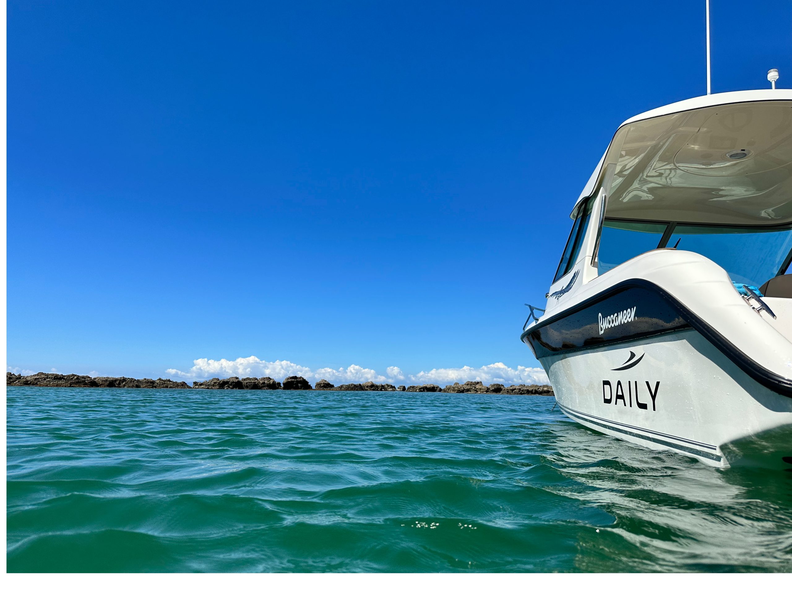
Daily members boat on Buccaneer 635 HT hardtops kept in their own berths at Westhaven, Pine Harbour and Gulf Harbour. For the Bottom End, Pine Harbour is the closer base.
New members do a sea trial when they join. See how it works, membership options and more destinations.
Planning note: distances and motoring times are approximate and assume an average of 20 knots. They will vary with the boat, load, sea state and wind. Always check charts, the MetService marine forecast and local notices, including Biosecurity New Zealand's caulerpa rules, and confirm landing rules and opening times before you set out.
Daily members boat from Westhaven, Pine Harbour and Gulf Harbour on fully maintained Buccaneer 635 HTs, without the cost of owning one. Plans from $470 a month.