
Auckland's youngest volcano, about 20 minutes from Westhaven. Lava fields, the world's largest pōhutukawa forest and a summit view across the whole Gulf. Here's how to plan your visit on a Daily boat.
Updated October 2026 · By the Daily Boats team
About 6.5 nautical miles from Westhaven to Rangitoto Wharf, or 9 to Islington Bay
About 20–30 minutes at 20 knots
Islington Bay. The wharves are for drop-offs and pick-ups only
Ferries, shipping and poor holding in Islington Bay
Summit track, lava caves and historic baches. No food or water
Rangitoto rose from the sea in a series of eruptions about 600 years ago, making it the youngest volcano in the Auckland field. The island covers about 2,311 hectares and climbs to 260 metres. It's a DOC scenic reserve, co-managed with mana whenua, and has been pest-free since 2011.
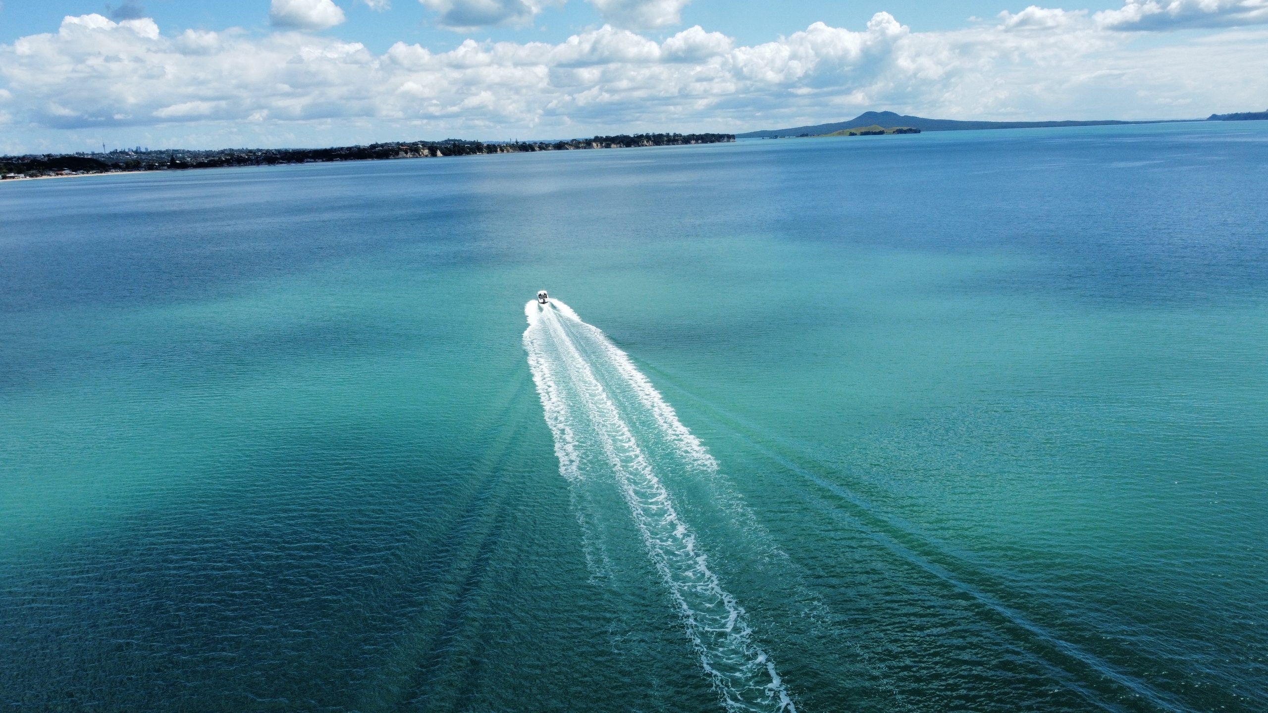
From Westhaven, head out past North Head and across the Rangitoto Channel. Rangitoto Wharf, on the south-west shore, is only about 6.5 nautical miles away, or around 20 minutes at 20 knots. For Islington Bay, carry on east along the south coast and turn in between Rangitoto and Motutapu: about 9 nautical miles, or 25–30 minutes. From Pine Harbour, Islington Bay is about 7 nautical miles. Allow longer in real conditions: at 20 knots, sea state matters more than wind direction for comfort.
The Rangitoto Channel is Auckland's main shipping channel, with ferries running to Devonport, Rangitoto and Waiheke. Keep well clear of ships. The waters around the island are part of the Rangitoto and Motutapu High Protection Area: you can motor through and anchor, but you can't fish or take anything.

Tucked between Rangitoto and Motutapu, Islington Bay is the main anchorage for private boats and one DOC lists as safe. It's sheltered from the prevailing south-westerlies, though gusts can come over the top. The holding is notoriously poor, a thin layer of mud over a hard bottom, so let out plenty of scope and make sure the anchor has set before you go ashore.
Both wharves are for the ferries. Private boats can drop off and pick up passengers, but can't tie up and leave the boat. Ferries switch to Islington Bay wharf when the weather is bad at Rangitoto Wharf, so keep clear of both when a ferry is due.
Most of Rangitoto's shoreline is jagged lava rock, with no other recognised anchorages. On the north coast, Wreck Bay has the remains of ships deliberately scuttled there, some showing at low tide. Visit these bays on foot rather than by boat.
Keep to 5 knots within 200 metres of the shore, and within 50 metres of other boats and swimmers.

There's no food or drinking water on Rangitoto, so bring plenty, especially for the summit climb in summer. Toilets are at Rangitoto Wharf and near the summit. There are no bins, so take all your rubbish home.
The best walks:
From Rangitoto Wharf, about 2 hours and 7 km return, climbing 250 metres. A 20-minute loop circles the crater rim.
A 15-minute side track off the Summit Track, about 45 minutes up from the wharf. Bring a torch.
About 2½ hours over the summit to Rangitoto Wharf, or 1½ hours on the inland road. Wreck Bay is about an hour from the Islington Bay road.
No dogs or other animals, and there's a total fire ban: no fires or portable barbecues. A few of the historic baches at Islington Bay and Rangitoto Wharf can be booked for stays.
The wharf and summit road opened in 1897, and prison labour built more roads between 1925 and 1936. About 140 baches went up in the 1920s and 30s before building was banned in 1937, and around 30 survive. During WWII an observation post was built on the summit, and the causeway to Motutapu dates from the same time.
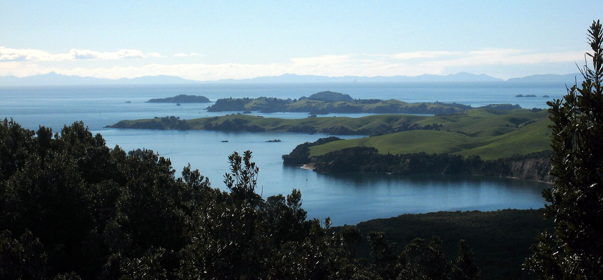
Walk over the causeway from Islington Bay to Motutapu's farmland, WWII sites and takahē. Read our Motutapu Island guide, or carry on to Rākino or Motuihe.
Check, clean and close: check the boat and bags for rats, mice, ants, skinks and seeds, and keep food sealed. Report pests to 0800 DOC HOT (0800 362 468).
No fishing or taking seafood of any kind, including by hand, in the Rangitoto and Motutapu High Protection Area. Fines start at $600. Check the boundaries on the MarineMate app.
Check the MetService marine forecast for the Hauraki Gulf before you leave and again during the day. Log a trip report with Coastguard on the app, by calling *500 or on VHF. In an emergency, call Maritime Radio on VHF channel 16.
Plan your fuel for the round trip, including any side trips, and keep a reserve.
Morning: check the forecast, log your trip and drop your walkers at Rangitoto Wharf.
Midday: anchor in Islington Bay for lunch and a swim while they cross the summit, about 2½ hours, then pick them up at the Islington Bay wharf.
Afternoon: head home in daylight.
Morning: anchor in Islington Bay and walk over the causeway to Motutapu to look for takahē.
Afternoon: carry on to Rākino or Motuihe for a swim, then head home in daylight.
Rangitoto is one of the closest islands to Westhaven, so it pairs well with a second stop at Motutapu, Rākino or Motuihe on a full Daily booking.
Daily members boat on Buccaneer 635 HT hardtops kept in their own berths at Westhaven, Pine Harbour and Gulf Harbour. New members do a sea trial when they join, so you'll know the boat before your first day out.
See how Daily works and more destinations, including Motutapu Island, Rākino Island and Waiheke Island.
Planning note: distances and motoring times are approximate and assume an average of 20 knots. They vary with the boat, load, sea state and wind. Always check charts, the MetService marine forecast, tide times and local notices, including the High Protection Area boundaries and Biosecurity New Zealand's caulerpa rules, before you set out.
Photos: Rangitoto from the air by Bruce Hayward (Wikimedia Commons, CC BY-SA 4.0); Rangitoto and Motutapu from the air by Ingolfson (Wikimedia Commons, public domain); ferry at Islington Bay wharf by Pseudopanax (Wikimedia Commons, public domain); Motutapu, Rākino and the Noises from Rangitoto by Avenue (Wikimedia Commons, CC BY-SA 3.0).
Daily members boat from Westhaven, Pine Harbour and Gulf Harbour on fully maintained Buccaneer 635 HTs, without the cost of owning one. Plans from $470 a month.