
Aotea Great Barrier Island is the big one: a long run across the Hauraki Gulf to landlocked harbours, bush tracks, hot springs and some of the darkest night skies on Earth.
Updated October 2026 · By the Daily Boats team
Roughly 50 to 55 nautical miles from Auckland
About 2½ to 2¾ hours at 20 knots
At least 4 to 5 days, plus spare days for weather
Port Fitzroy, one of the most sheltered harbours in the Gulf
Caulerpa controls cover the whole island's waters
Limited. Off-grid island with a handful of stores
Port Fitzroy and Tryphena are each around 53 to 54 nautical miles from central Auckland, so allow about 2½ to 2¾ hours at an average of 20 knots, plus time for the weather. This crossing calls for a settled forecast and a crew comfortable with a big day on open water.
This is a longer trip than a typical Daily day out. Talk to the Daily team before planning it.
Great Barrier sits on the outer edge of the Gulf, with the Colville Channel to its south (towards Cape Colville) and the Cradock Channel to its west (towards Little Barrier) opening to the Pacific. Conditions on the crossing can be very different from what you see at Westhaven, and at 20 knots the sea state matters more than the wind direction for a comfortable run. Check the MetService marine forecast for the whole trip, not just departure day.
Plan to leave and return in settled conditions, and build in spare time so you are never forced to head home in a blow.
Te Hauturu-o-Toi / Little Barrier Island is a nature reserve. Anchoring within its 40-metre depth contour has been banned without a permit since July 2025, and landing is restricted.
File a trip report with Coastguard through the Coastguard app, by calling *500 or on VHF, and update it if your plans change. In an emergency, call Maritime Radio on VHF channel 16.
Fuel up before you leave Auckland, plan your fuel for the round trip and keep a reserve. Port Fitzroy has fuel, but supplies on the island are limited.
Bring most of your food with you. Supplies on the island are limited.
Search the boat and bags for rats, mice, ants and skinks, pack food in sealed containers and clean dirt off footwear. Report pests on pest-free islands to 0800 DOC HOT (0800 362 468).
The invasive seaweed exotic caulerpa is established around Great Barrier, and Biosecurity New Zealand has made the island's waters a controlled area out to the 40-metre depth contour. The current notice came into force on 1 October 2025. In practice:
You must not move a boat within or out of the controlled area until you have checked the anchor, chain and any gear for seaweed. Remove anything you find, bag it and dispose of it ashore.
Anchoring is not allowed without a permit in the Broken Islands high-risk zone on the west coast (the waters around the Broken Islands, from just south of Man O' War Passage down to Bowling Alley Bay) or in Tryphena Harbour, apart from designated anchoring areas in Tryphena and genuine emergencies.
Bottom-contact fishing such as flounder nets, dredging and trawling is restricted. Line fishing from a drifting boat, spearfishing and hand-gathering are still allowed.
Fines can reach $50,000. Check the maps at biosecurity.govt.nz/caulerpa before every trip.
Port Fitzroy, on the west coast, is the favourite base for visiting boats. Kaikoura Island guards the entrance, giving shelter in almost all conditions. Many skippers enter through Man O' War Passage, a deep, steep-sided channel. The narrows can be squally. The settlement has a store and fuel, and the harbour gets busy over Christmas and summer.
Tucked inside Port Fitzroy, Smokehouse Bay is a much-loved stop. The land and facilities were provided by a local family and are kept going by volunteers, with a wood-fired bath, old-style laundry tubs and smokehouses for visiting boaties. Leave everything cleaner than you found it. The facilities are run by volunteers, so check they are open before you rely on them.
Further south on the west coast, Whangaparapara offers good shelter in most winds, though swell can work into the inner bay in a south-westerly. It is outside the Broken Islands no-anchoring zone but inside the check-and-clean controlled area. It is also the closest harbour to the Kaitoke Hot Springs Track. These shelter notes are general guidance, so check your chart and local knowledge before anchoring overnight.
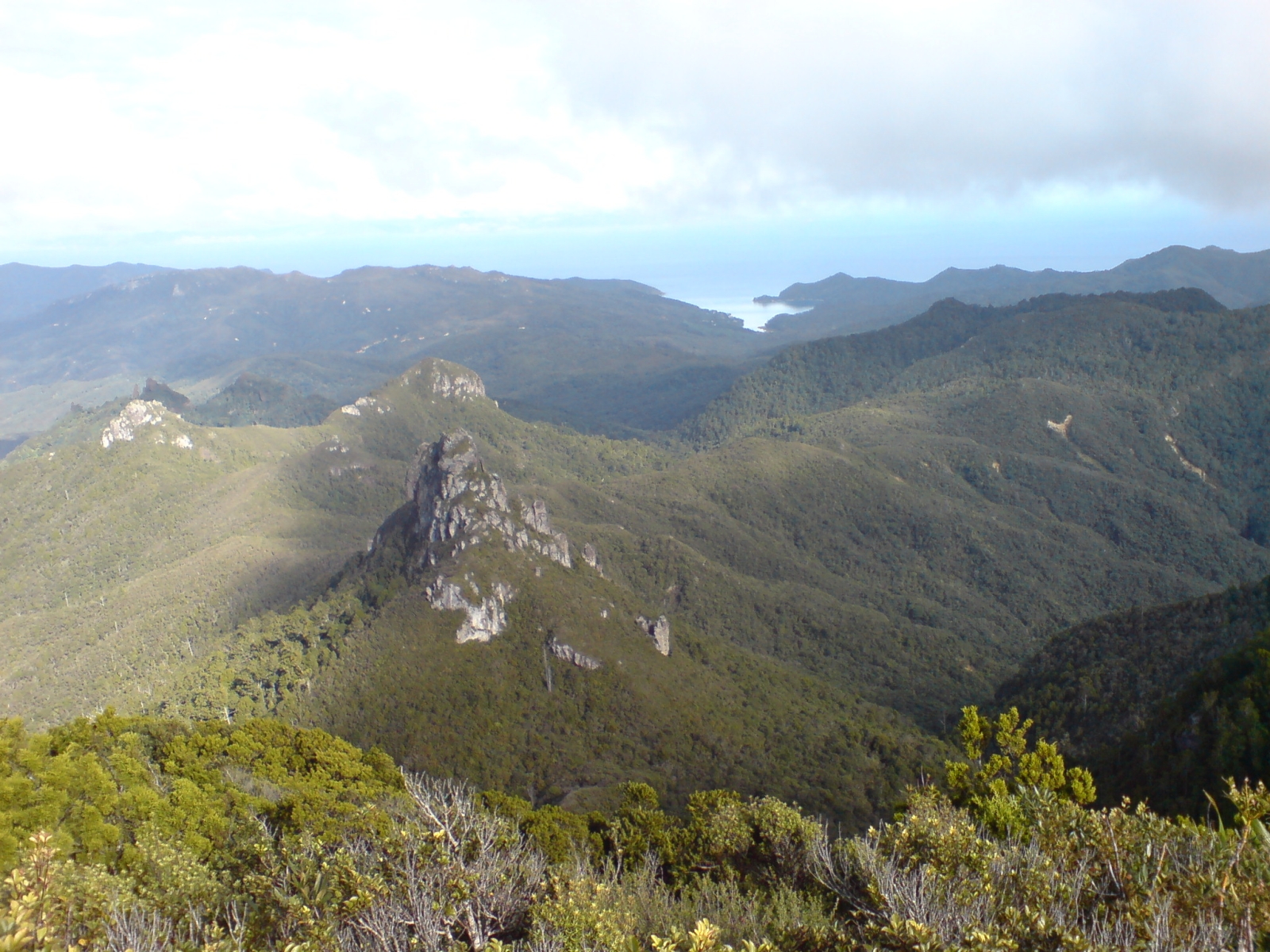
Tryphena, in the south, is served by ferries from Auckland. Because Tryphena Harbour is a caulerpa high-risk zone, you can only anchor in its designated anchoring areas. Some private mooring owners hire out moorings, which can be a good option here.
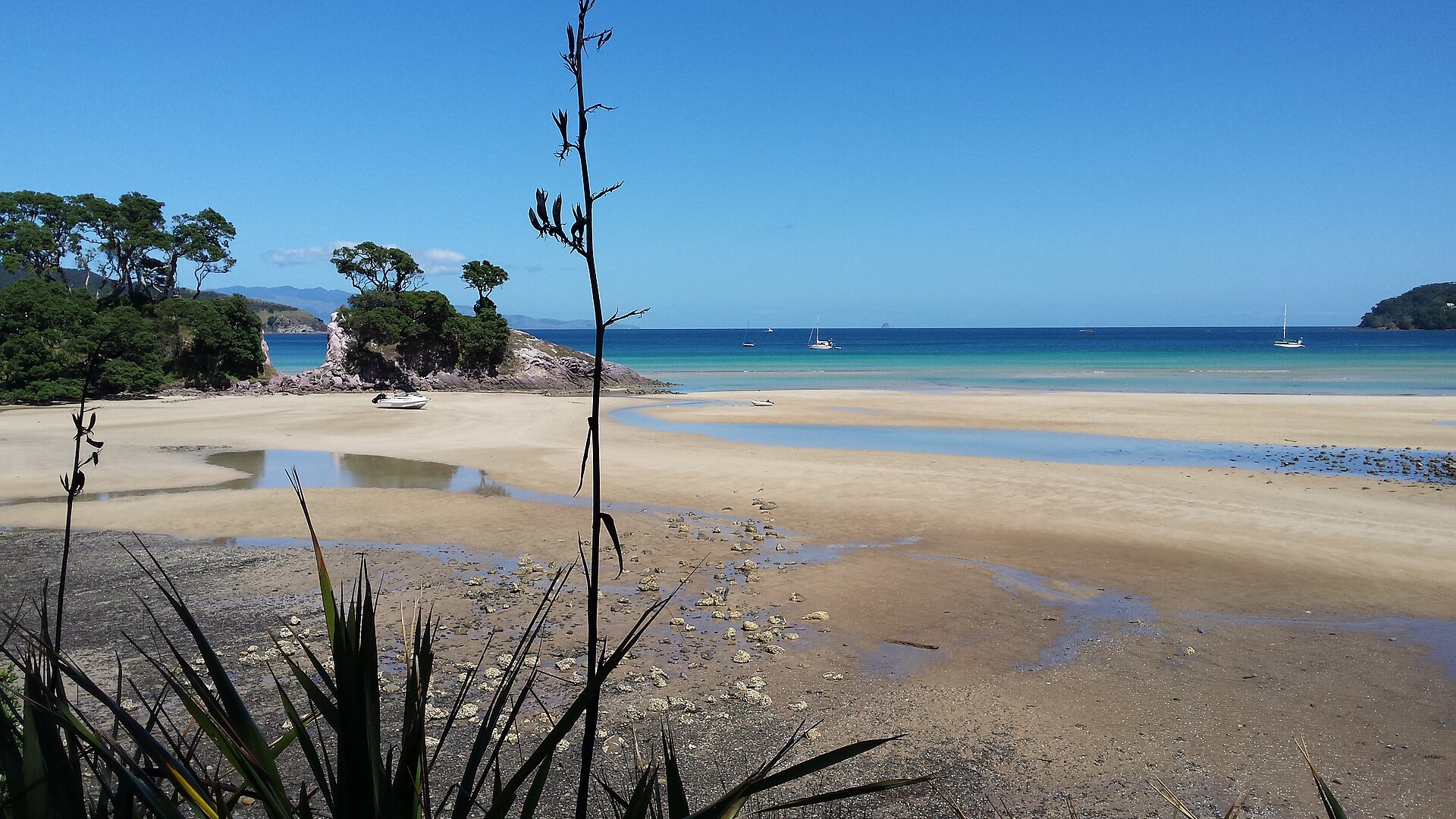
In 2017 Great Barrier became the first island in the world to be named an International Dark Sky Sanctuary. There is no mains electricity and no streetlights, so on a clear night at anchor the Milky Way is extraordinary.
From Port Fitzroy, follow Kaiaraara Bay Road to its end to start DOC's Kaiaraara Track to the summit. DOC suggests allowing 3 to 3.5 hours. The route passes the remains of an old kauri dam and ends with panoramic views.
An easy DOC track of about 45 minutes runs from Whangaparapara Road to natural hot pools. The water can be hot in places, and DOC advises not putting your head under.
Homes and businesses make their own power and there are only a few grocery stores. Plan ahead and take your rubbish with you.
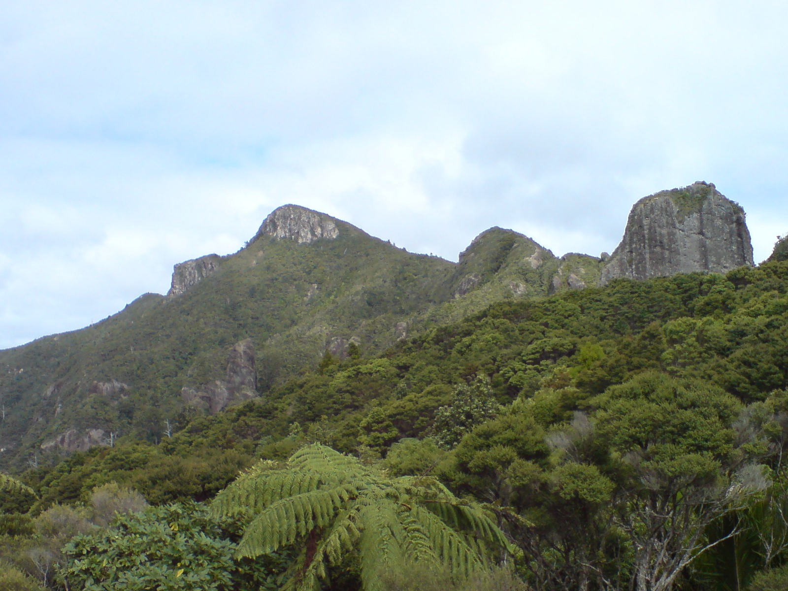
Early start from Westhaven and a run of about 2½ to 2¾ hours across the Gulf to Port Fitzroy, ideally entering through Man O' War Passage in daylight.
Walk the Kaiaraara Track to Hirakimatā / Mt Hobson and top up supplies at Port Fitzroy.
A slow day in Smokehouse Bay: bath, laundry, swim, and stars after dark. Check your anchor and chain before you move.
Cruise south to Whangaparapara Harbour, staying out of the Broken Islands no-anchoring zone, then walk to Kaitoke Hot Springs.
Clean your gear, check the forecast and head home. If the weather is wrong, stay put and use a spare day.
Daily members boat on Buccaneer 635 HT hardtops kept in their own berths at Westhaven, Pine Harbour and Gulf Harbour. New members do a sea trial when they join.
Find out more in How it works, Our boats and Membership options, or browse more destinations.
Planning note: distances and motoring times are approximate and assume an average of 20 knots. They vary with the boat, load, route, sea state and wind. Always check charts, the MetService marine forecast and local notices, including Biosecurity New Zealand's caulerpa rules and maps, before you set out.
Photos (Wikimedia Commons): Port Fitzroy by Department of Conservation, CC BY 2.0; Whangaparapara Harbour by Ingolfson, public domain; Pā Beach, Tryphena by Nurg, CC BY-SA 4.0; Hirakimatā / Mt Hobson by Ingolfson, public domain.
Daily members boat from Westhaven, Pine Harbour and Gulf Harbour on fully maintained Buccaneer 635 HTs, without the cost of owning one. Plans from $470 a month.